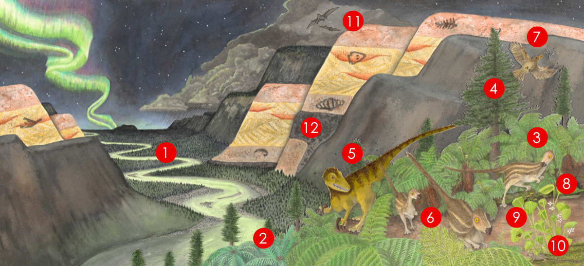
The Cretaceous Valley
The Cretaceous Period covers a span of time between 145 and 66 million years ago. It ended in the most famous of all extinction events - that which killed the dinosaurs.
The fragmentation of the supercontinent Gondwanaland that had begun in the Jurassic continued through the Cretaceous Period. Around 130 million years ago Madagascar/India separated from Antarctica/Australia; the long process of separating Antarctica and Australia also began at this time. For much of the Cretaceous, these two landmasses remained in the far south of the planet but by 80 million years ago Australia had begun to migrate northwards. Tasmania had now assumed its position as the southernmost part of Australia and it remained within the polar circle for the whole of the Cretaceous Period.
The separation of Gondwanaland resulted in stretching and squashing of the crust as pieces moved and jostled across the surface of the Earth. Parts of Tasmania were stretched apart, breaking rock to create faults. Mountains began to rise as rocks were pushed up along fault lines creating nearby graben valleys, many of which are still visible today. Much, much later one of these grabens would come to be known as the Derwent River Valley and another, to the north, would become Bass Strait.
As much of Tasmania’s land was being pushed upwards during the Cretaceous rock was being eroded off the surface rather than deposited on it. Sediment continued to settle in rivers and further out to sea but there was much less on land. Erosion in the periods that followed has completely removed this material and Tasmania’s modern surface geology does not include any Cretaceous sedimentary rocks. In order to find fossil evidence of life during this time it is necessary to look offshore, in this case to the sedimentary basins of Bass Strait and southern Victoria. A number of important Cretaceous fossil localities are found here, including the world famous Dinosaur Cove and the rich lake deposits of Koonwarra.


